Navigate
Raven Nav
Navigation when GPS is gone — jammed, spoofed, or simply unavailable.
Localize and navigate using what the platform can see, not a satellite signal.
Overview
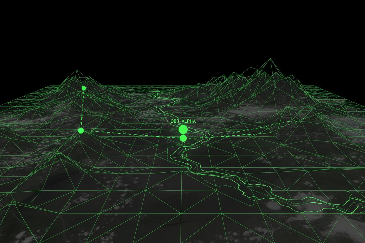
Raven Nav is a tactical navigation and localization system for drones and autonomous platforms operating where GPS is unreliable, jammed, spoofed, or contested. It uses onboard camera imagery, satellite maps, terrain data, elevation models, and visual feature matching to estimate position and support navigation in GPS-denied environments.
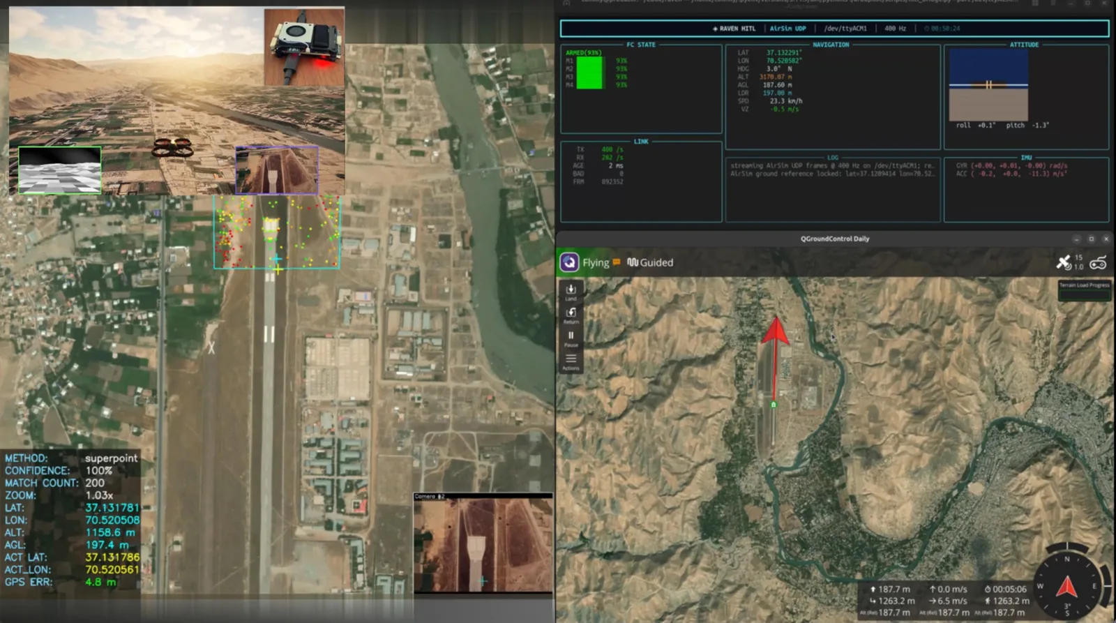
It localizes a drone image or video frame within a larger georeferenced satellite map using learned visual feature matching (LightGlue with SuperPoint, DISK, or ALIKED features), reports estimated latitude, longitude, and terrain altitude from an integrated digital elevation model (DEM), and produces annotated outputs for operator review.
Matching runs on CPU or GPU and accelerates through ONNX Runtime, OpenVINO, or CUDA. The reference map automatically re-centers as the platform moves toward the edge of coverage, and the same pipeline handles both single frames and full video.
Military & security use cases
- Drone navigation in GPS-denied environments
- Visual localization for autonomous ISR platforms
- Missions in contested electronic environments
- Terrain-referenced navigation
- Position estimation from satellite imagery and onboard camera feeds
- Backup localization when GNSS is degraded
What it delivers
- Reduced dependency on GPS
- Autonomous navigation in contested environments
- Visual map matching with terrain and DEM elevation integration
- Runs at the edge on CPU, or on GPU for higher throughput
- Acceleration via LightGlue, ONNX Runtime, OpenVINO, or CUDA
- Operator-reviewable, annotated localization outputs
Key capabilities
Inside Raven Nav.
- Visual localization of drone frames against georeferenced satellite imagery
- Learned feature matching (LightGlue: SuperPoint / DISK / ALIKED)
- Reports estimated latitude, longitude, and terrain altitude
- Integrated digital-elevation-model (DEM) terrain referencing
- CPU or GPU, with ONNX Runtime, OpenVINO, or CUDA acceleration
- Automatic reference-map re-centering as the platform moves
- Single-frame and full-video processing with annotated outputs
- Configurable keypoint budget and match-confidence thresholds
Watch the demo
GPS-Denied Drone Localization — HITL Demo over Fayzabad
This video is hosted on YouTube and may set cookies when loaded.
GPS-Denied Drone Localization — HITL Demo over Fayzabad
Read the full write-up: Validating GPS-denied drone navigation in hardware-in-the-loop
Field view

Product FAQ
Raven Nav — questions & answers
How does Raven Nav navigate without GPS?
It estimates position from onboard camera imagery, satellite maps, terrain data, elevation models, and visual feature matching, reporting estimated latitude, longitude, and terrain altitude with operator-reviewable outputs.
What environments is Raven Nav built for?
GPS-denied, jammed, spoofed, or otherwise contested electronic environments — including terrain-referenced navigation and backup localization when GNSS is degraded.
What acceleration does Raven Nav support?
It can run with LightGlue, ONNX Runtime, OpenVINO, or CUDA acceleration, and supports satellite map fetching and DEM elevation integration.
Proven in the field
Raven Nav in real work.
Rest of the system


Put Raven Nav to work.
Tell us about your mission and we'll show you the system in context.