Train & validate
Synthetic Data
Infinite, perfectly-labeled training data — including scenarios you can't safely capture for real.
Generate the rare, the dangerous, and the hard-to-photograph — at scale, fully annotated.
Overview
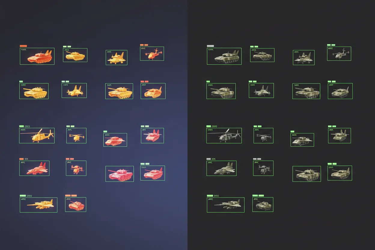
A military-focused synthetic data platform for training and validating AI vision systems. It produces realistic, labeled datasets of vehicles, aircraft, drones, objects, terrain, and operational environments across RGB, thermal, and LWIR imaging modes — building the data you'd otherwise spend years and risk to collect.
It renders physically-based, path-traced 3D scenes in which target models are placed with domain randomization over camera pose, lighting, backgrounds, range, occlusion, weather, and distractors — with every model normalized to a known physical size, so distance and scale are meaningful. Datasets export as COCO (bounding boxes or polygon masks) and KITTI, with automated annotation reports.
A dedicated LWIR pipeline models thermal sensors realistically — automatic gain control, NETD grain, fixed-pattern and column noise, optical blur, vignette, and selectable thermal palettes — and can convert daytime RGB imagery into plausible long-wave-infrared using both physics-based and learned methods.
Military & security use cases
- Training models for target detection and classification
- Creating rare or difficult-to-capture battlefield scenarios on demand
- Generating thermal and LWIR datasets for drone and aircraft detection
- Converting existing RGB imagery into realistic thermal datasets
- Stress-testing AI against occlusion, distance, clutter, and changing environments
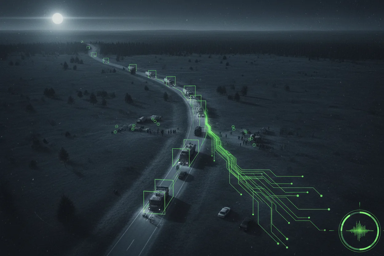
- Supporting ISR, surveillance, reconnaissance, and perimeter-defense systems
What it delivers
- Scalable, repeatable dataset generation
- Faster model development at lower data-collection cost
- RGB / thermal / LWIR workflows in one pipeline
- Standards-based COCO and KITTI annotations ready for training
- Vision systems hardened for real-world operational variability
Key capabilities
Inside Synthetic Data.
- RGB, thermal, and LWIR dataset generation
- Physically-based, path-traced 3D rendering with multiple quality presets
- Domain randomization: pose, lighting, backgrounds, range, occlusion, weather, distractors
- Physical size normalization for meaningful range and scale
- Realistic LWIR sensor modeling (AGC, NETD grain, fixed-pattern noise, vignette, palettes)
- RGB-to-LWIR conversion (procedural physics-based and learned)
- COCO (bbox & polygon mask) and KITTI annotation export
- Configurable classes-per-frame, distance range, and small-object handling
- Automated annotation visualization and PDF reporting
Field view


Product FAQ
Synthetic Data — questions & answers
What data does the generator produce?
Realistic, labeled datasets of vehicles, aircraft, drones, objects, terrain, and operational environments across RGB, thermal, and LWIR imaging modes.
What annotation formats does it export?
Standard formats including COCO and KITTI, with controlled, repeatable scenes and randomized angles, lighting, occlusion, weather, and distractors.
Why use synthetic data?
To create rare or difficult-to-capture scenarios on demand, stress-test models against occlusion, distance, and clutter, and reduce dependency on costly, risky real-world data collection.
Rest of the system


Put Synthetic Data to work.
Tell us about your mission and we'll show you the system in context.