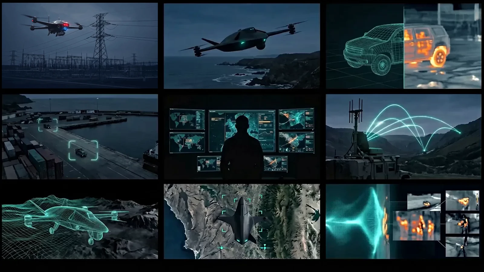
AI Vision · Drones · Radar · Radio · Command
AI vision, autonomous drones, resilient radio. One command picture.
Runic Defence builds systems that detect and track targets in real time, guide drones to follow and intercept, watch the sky with passive radar, and keep radio links alive under jamming — fused into one operational picture, even when GPS is denied.
Edge-first AI
Runs on-platform, low-latency, cloud-optional.
Contested-environment ready
Built for GPS-denied and comms-degraded operations.
Human-in-the-loop
Operators stay in command.
One integrated network
Drones, sensors, comms, and C2 in a single system.
The operational loop
Detect, understand, coordinate, and act — faster.
Runic Defence runs on autonomous platforms, drones, PTZ cameras, sensors, field units, and command centers — and stays effective in demanding, contested, or GPS-denied conditions.
- 01
Detect
AI vision and sensing surface what matters in real time.
- 02
Understand
Context and classification turn signals into intelligence.
- 03
Coordinate
Assets and operators act from one shared picture.
- 04
Act
Faster, more confident decisions — with humans in command.
Signature capabilities
Where conventional systems go blind.
Two capabilities built for the conditions that defeat cameras and satellites — and that most defense systems can't address.
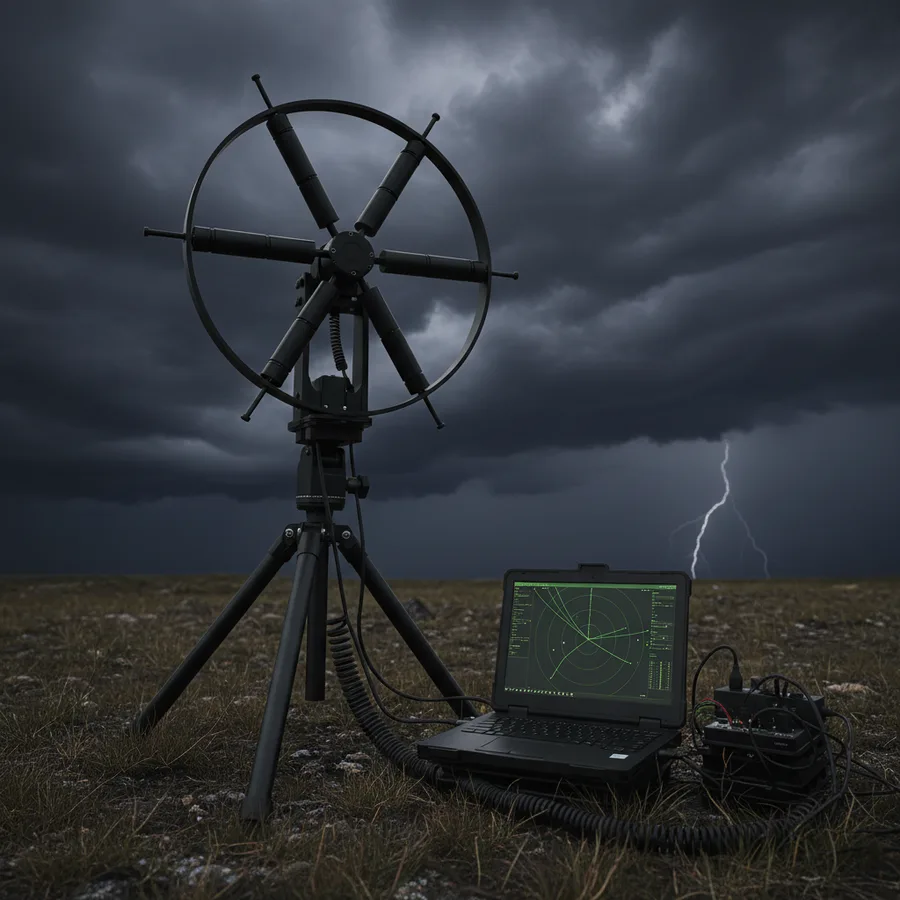 Passive radar
DAR-B
Zero emissions, full picture. Passive radar that detects and tracks targets using signals you never transmitted.
Active radar gives away your position the moment it transmits. DAR-B detects and tracks targets using ambient FM broadcasts as the illuminator — full situational awareness, zero emissions.
Explore DAR-B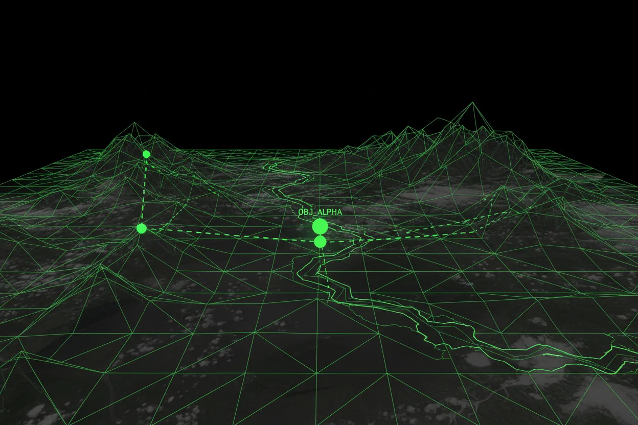 GPS-denied navigation
Raven Nav
Navigation when GPS is gone — jammed, spoofed, or simply unavailable.
When GPS is jammed or spoofed, autonomy stalls. Raven Nav localizes from onboard imagery and terrain instead — so platforms keep moving in contested electronic environments.
Explore Raven NavProven in the field
Real demonstrations, real hardware.
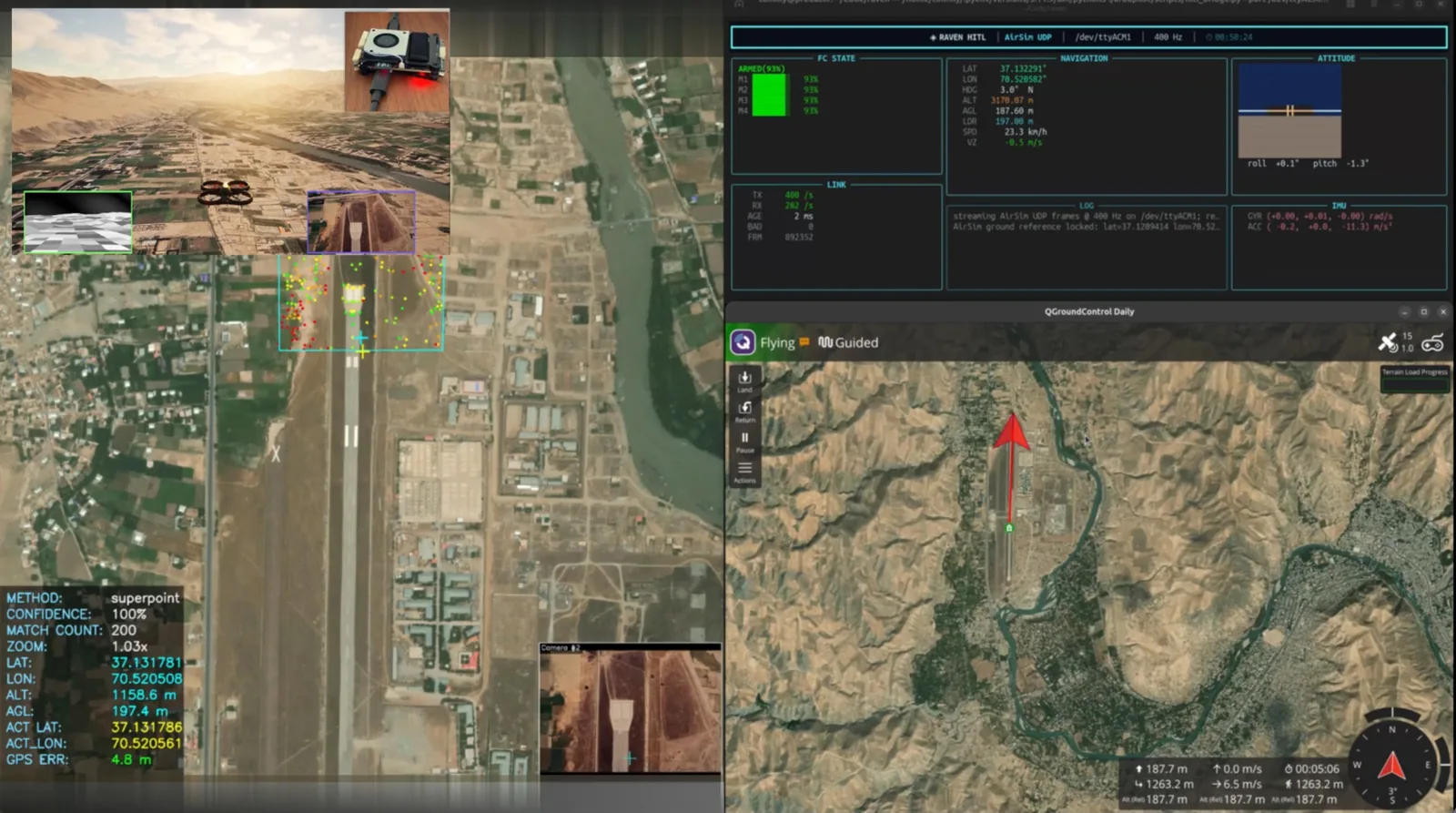 GPS-Denied Navigation
Validating GPS-denied drone navigation in hardware-in-the-loop
A hardware-in-the-loop setup connected a real flight controller running ArduPilot to RUNE Sim, validating vision-based GPS-denied localization in repeatable, photorealistic scenarios — demonstrated over real-world terrain.
- Real flight firmware in the loop
- GPS-denied localization, demonstrated
The Runic Defence system
One connected system. From sensor to command.
The Raven family perceives, navigates, and connects in the field; ODIN Command Center fuses it into a real-time operational picture; RUNE Sim and the Synthetic Battlespace Data Generator train and validate it all before deployment.
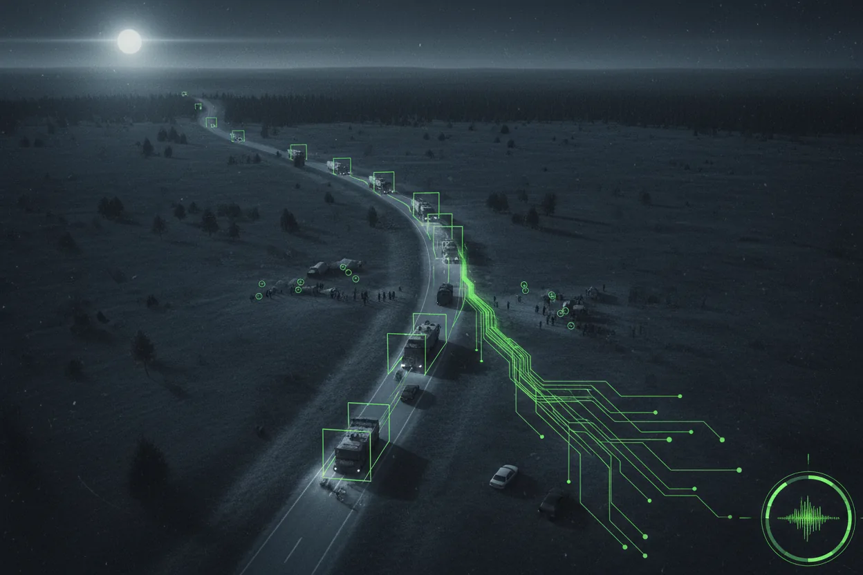
Perceive
See and sense the operational environment — with or without cameras.
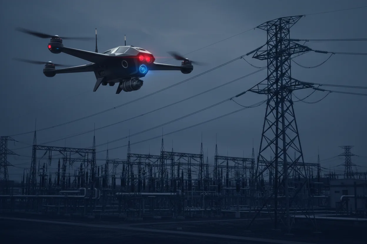
Navigate
Move and localize autonomously, even when GPS is denied.
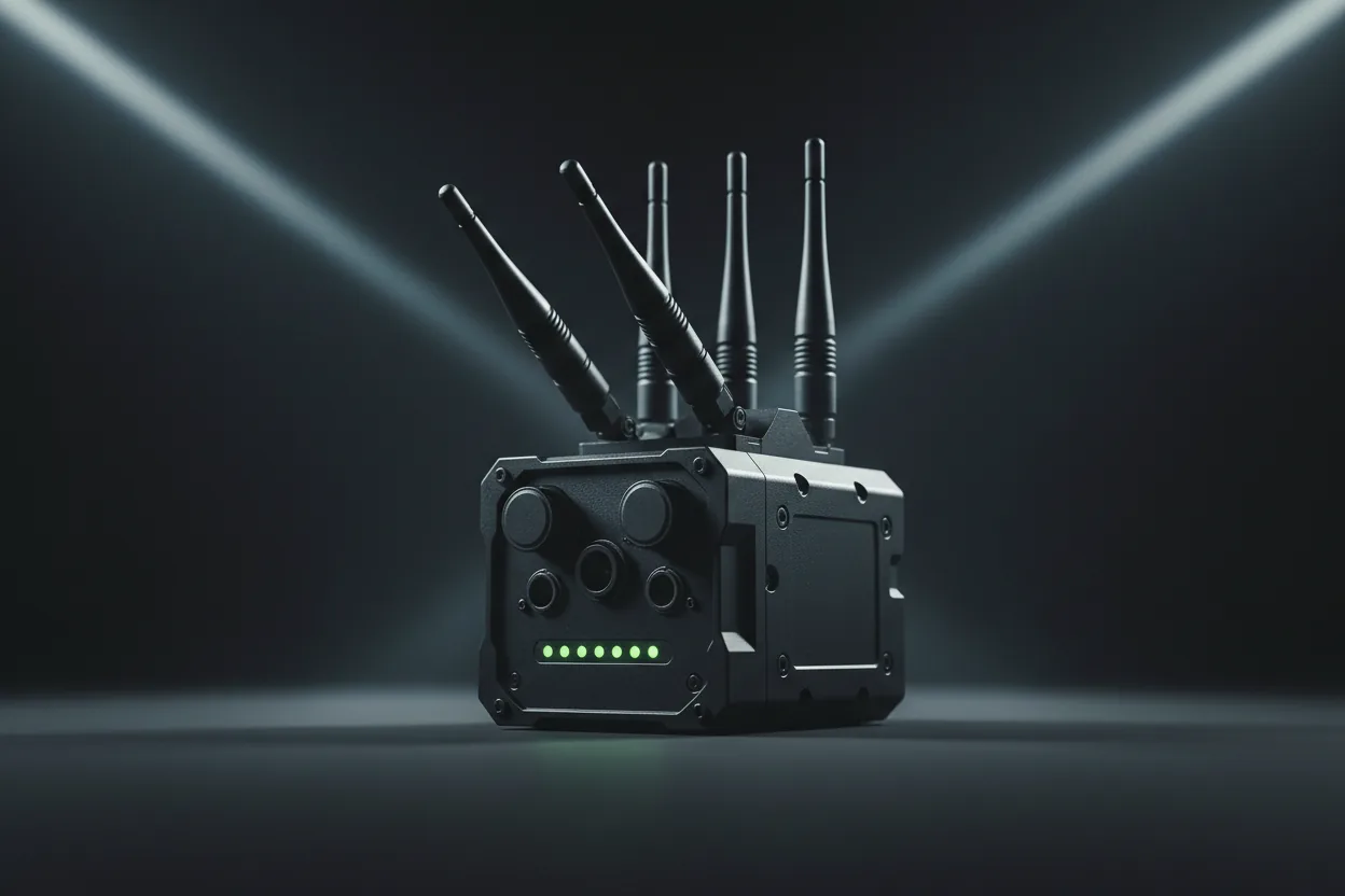
Connect
Hold the network together across contested, degraded links.
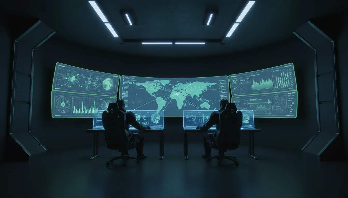
Command
Fuse it all into one real-time operational picture.
Train & validate
Build the data and prove the autonomy before deployment.
 Train & validate
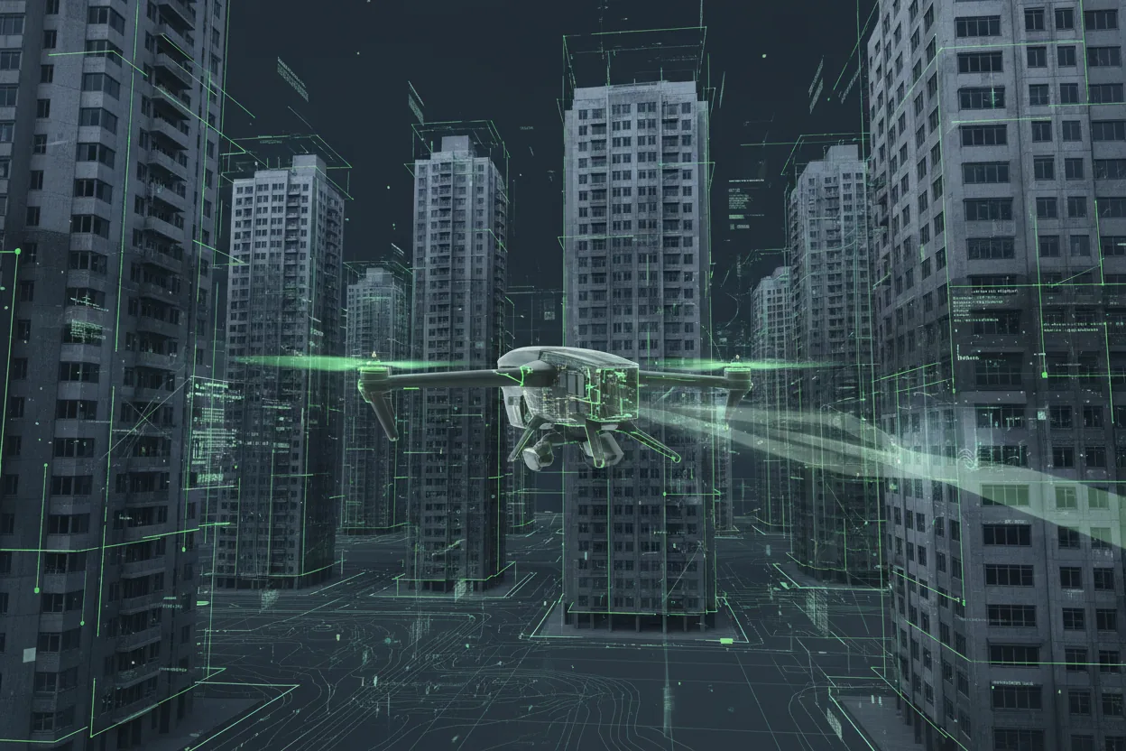
RUNE Sim
Train and validate autonomy before it ever flies. The digital proving ground.
Explore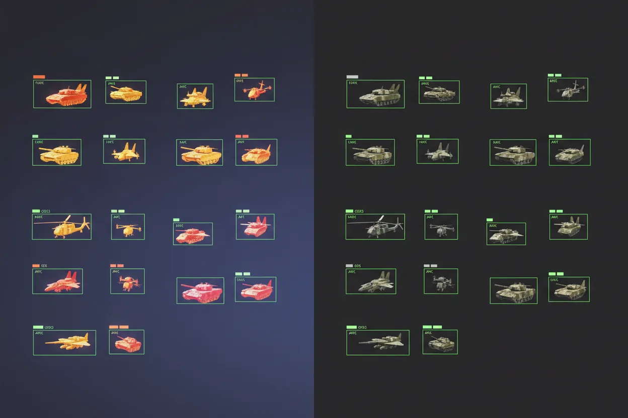 Train & validate
Synthetic Data
Infinite, perfectly-labeled training data — including scenarios you can't safely capture for real.
Explore Train & validate
RavenView
Every flight, reconstructed. Turn black-box logs into a full 3D debrief.
ExploreOpen & interoperable
Open by design.
Decisive awareness shouldn't mean replacing everything you already field. Runic Defence is built to integrate — not to lock you in.
Integrate, don't replace
Built to work alongside the command systems, radios, sensors, and platforms you already operate.
Open standards, no lock-in
IP-based networking and common autonomy interfaces keep your stack vendor-neutral.
Adopt at your pace
Deploy a single capability or the whole connected system — modular by design.
Swedish by design
Sovereign defense technology, developed in Sweden.
Defense solutions
Built for the mission.
The same systems combine into complete solutions for the missions that matter most.
Autonomous ISR
Intelligence, surveillance, and reconnaissance with minimal operator load.
Autonomous Drones · Raven · Synthetic Data · ODIN Command Center
Critical Infrastructure Protection
Monitor ports, airports, power facilities, bases, and restricted zones.
Raven · DAR-B · Raven Link · ODIN Command Center
GPS-Denied Operations
Keep navigating and locating when GNSS is jammed or spoofed.
Raven Nav · Autonomous Drones
Tactical Communications
Connect sensors, drones, vehicles, and command across difficult terrain.
Raven Link · ODIN Command Center
AI Model Training & Validation
Generate data, test algorithms, and validate perception before deployment.
Synthetic Data · RUNE Sim
FAQ
Questions, answered.
What does Runic Defence do?
Runic Defence builds AI vision, autonomous drone, navigation, sensing, communications, and command-and-control systems for defense, security, and critical-infrastructure operations — designed to stay effective in GPS-denied, contested, and communications-degraded environments.
How do Runic Defence's systems work together?
The Raven family perceives, navigates, and connects in the field; ODIN Command Center fuses everything into a real-time operational picture; and RUNE Sim and the Synthetic Battlespace Data Generator train and validate the autonomy before deployment. You can adopt a single system or the whole connected network.
Can Runic Defence integrate with systems we already operate?
Yes. Runic Defence is open and modular by design, built on IP-based networking and common autonomy interfaces. It is intended to work alongside the command systems, radios, sensors, and platforms you already field — not to replace them or lock you into a single vendor.
How do your systems operate when GPS is jammed or denied?
Raven Nav estimates position from onboard camera imagery, satellite maps, terrain data, and visual feature matching instead of relying on GNSS, so drones and autonomous platforms keep navigating in contested electronic environments. It can report estimated latitude, longitude, and terrain altitude with operator-reviewable outputs.
Bring decisive awareness to your operation.
Tell us about your mission. We'll show you the system.